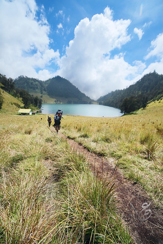
Mount Semeru (Part I) - Ranu Pane to Ranu Kumbulo
Mount Semeru (Part II) - Ranu Kumbulo to Kalimati post
Mount Semeru (Part III) - Kalimati post to Semeru Peak to Ranu Pane
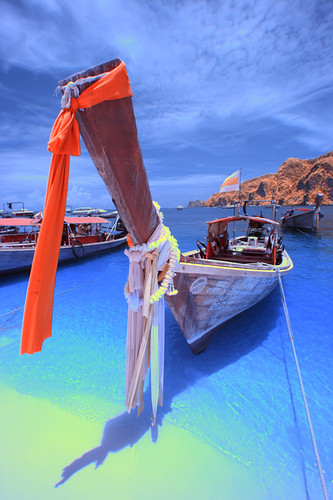
Mount Semeru (Part IV) - Ranu Pane to Bromo
Compared with previous entry, this entry has the least picture in it. Which would self explain the difficulty in ascending this mountain peak.
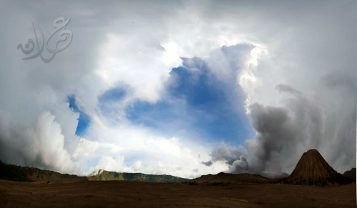
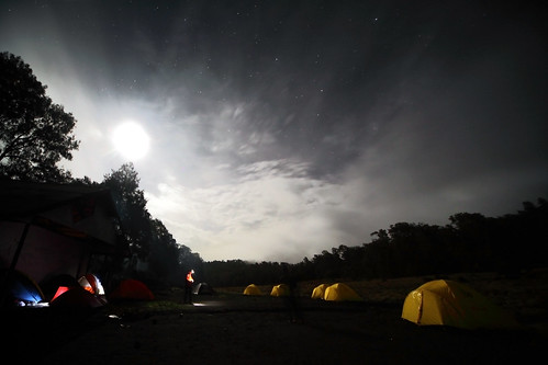
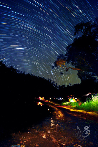
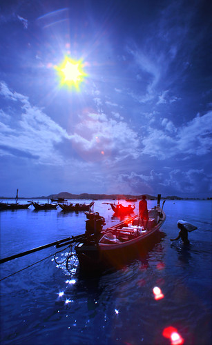
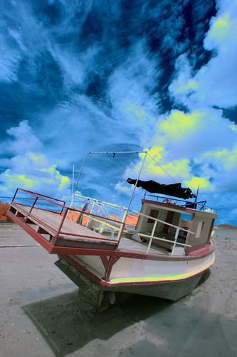
Kalimati Basecamp at midnight
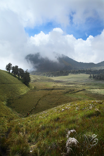
We start from Kalimati post (2700m) around 1am. We reach Arcapada camp (2900m) 1.5 hour later. Arcapada is also sometimes spelled/pronounced as Arcopodo. Between Kalimati and Arcapada is a mildly dense pine forest. At some point the trekking path remind me of the path between Kem Pacat to Puncak Pengasih at Nuang Mount back in Malaysia although the Nuang trek is far more extreme.
The dangerous part is when you nearing Arcapada (upper) as there is several dangerous ravine on both side. There is a notorious 75m drop ravine not far from Arcapada camp (nickname Blank 75) which had claim several lives previously. But as long as you stay within the designated track you should be safe. You should keep a close distance with your trekking partner/group all the times here.
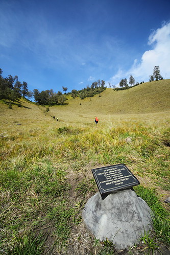
After reaching Arcapada, the next point is Cemara Tunggal which is about 45 minutes from Arcapada. Previously there is a lone Cemara tree here (which is why the place called Cemara Tunggal, Tunggal = single/lone) but the tree has fallen down few month ago as reported
here.
From here the nightmare begin. High altitude compounded the difficulty. Because of the loose soil combined together with the steep slope, it is difficult to hike for a few step without sliding down back. Loosing 1 step for every two step taken is common. At one point i loose several metres sliding down. Such scenario will leave you fully exhausted by the time you reach summit. But the greater the effort the greater the victory feeling. Some of my friends even thought I wont make it as I take longer time to reach the peak compared to them.
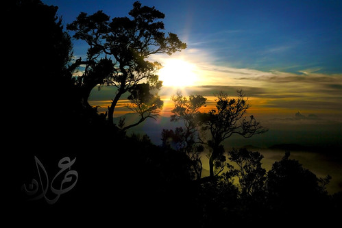
View wise.. the landscape & panorama during the sunrise & early morning is the most amazing view i ever witnessed... It is far more magical and breathtaking compared to rinjani/sibayak/kawah ijen.. the feeling is inexplained.. (even though each of this location is special in their own way).. there were one instant i sit for several minutes just enjoying the breathtaking scenery.. badluck my camera bag is not with me as one of the helpful guide already took my camera bag due to my slowness in hiking up.. :|
I should credit my success to the ever helpful guide especially Mas Candra who patiently accompany me in my ascend (& descent) and also Mas Kaboel & Mas Danang who help in every possible way that they can. I am deeply indebted to them.

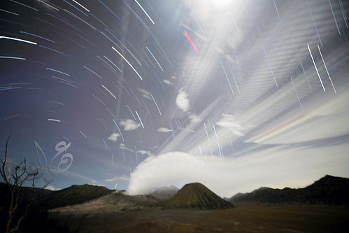
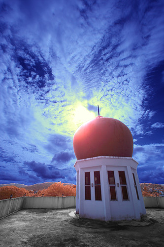
Semeru peak (3676m) with small eruption from Kawah Jonggring Saloko
After enjoying the peak for a while,and as thick cloud and fog already surrounded the mountain peak, we descent down. Rest for a while at Kalimati and then proceed going out from mountain area until we reach civilization back at Ranupani village.
My conclusion, it was a tough mountain, but not too hard to hike as long as you prepare yourself physically. Two weeks prior to this trip i went jogging for at least 10-15km/day but for me it is still not enough as i was in leisure lifestyle for several month (fasting month followed by aidilfitri festival month).
I also realized later that my body suffer from AMS due to dehidration as dehidration deter your body from acclimitazing. I slowly get back to my normal hiking/trekking rhythm/speed when my body get adequate water. Always make sure that your body had enough water supply. Learn more about AMS before climbing any mountain more than 3000m height. Sleepless night, dizzyness,queasiness, inability to breath properly is among the AMS sympthoms.
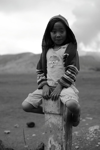
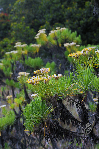
Edelweiss, Bunga Langka nan Abadi - a common flora within mountaineous area in Indonesia
Share
Click to share this article in your Facebook!
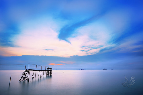

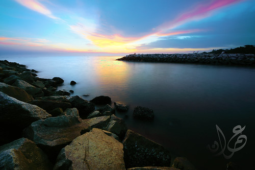

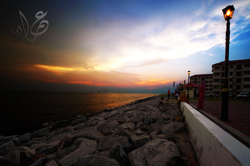
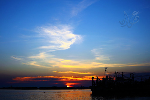
![9/11 Sunset (Afterglow), Malacca Port [Explored]](http://farm5.static.flickr.com/4146/4980055354_203f1bd200.jpg)